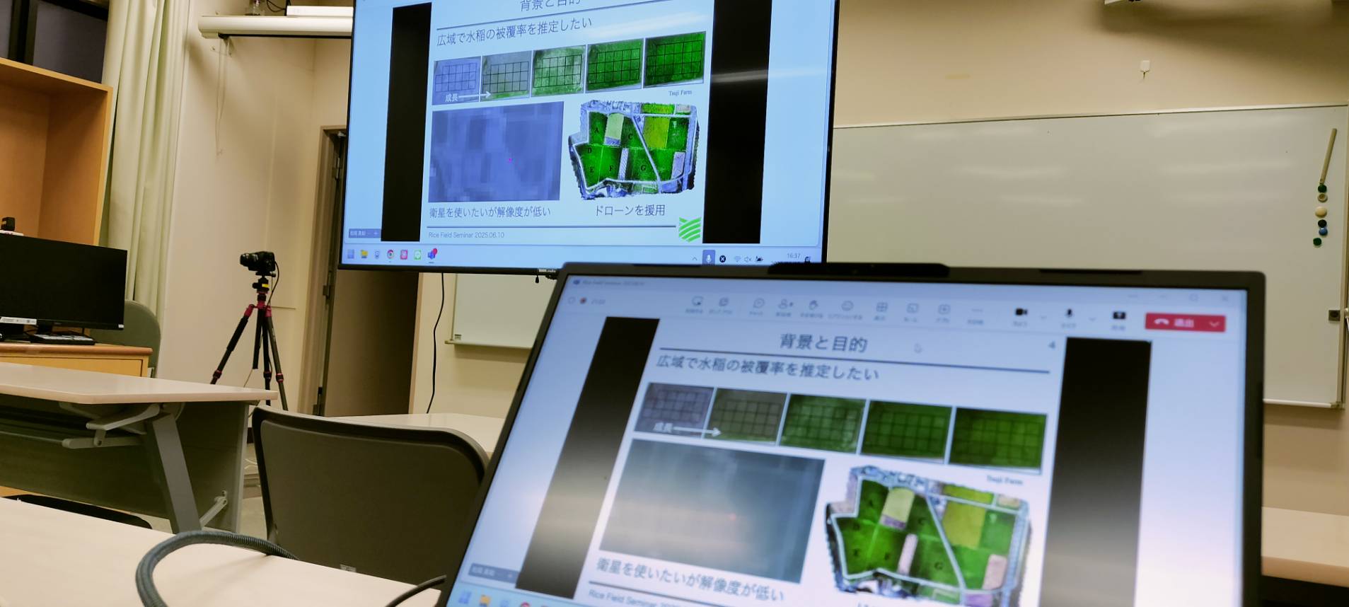
月例の水田勉強会。ここ数年、ドローンや衛星を利用した作物解析の研究事例が急速に増加。農学をバックグランドとした研究者が汎用性の高くなったリモートセンシング技術を利用するというのが多くの場合。今回は、リモートセンシングを専門する工学系の研究者による作物解析の事例。対象に応じて高解像度のドローンと広域性の高い衛星を組み合わせて解析する手法。作物学に特化してないこともあって、水田全体を生態系としてとらえ、土壌から植物まで一体的に解析する手法が非常に興味深い。今後の共同研究に大きな期待。
松岡先生(工学部)
「ドローンと衛星を利用した水田リモートセンシング」
Monthly Rice Field Study Meeting. In recent years, research cases utilizing drones and satellites for crop analysis have rapidly increased. In most cases, researchers with agricultural backgrounds utilize remote sensing technologies that have become more versatile. This time, we had a case study of crop analysis by an engineering researcher specializing in remote sensing. The methodology combines high-resolution drones and satellites with high spatial coverage, analyzing according to the target. Since the researcher is not specialized in crop science, the approach of treating the entire rice field as an ecosystem and conducting integrated analysis from soil to plants was extremely interesting. We have high expectations for future collaborative research.
Professor Matsuda (Faculty of Engineering)
“Rice Field Remote Sensing Using Drones and Satellites”

 using WordPress and
Comments are closed